Low-cost and accessible data makes PRECISION AGRICULTURE possible for small-scale Alaskan farms
Precision agriculture, or PA, uses diverse datasets and technologies to increase crop production and lower costs. PA can benefit both large and small farms in Alaska. High quality maps and elevation models are the cornerstone of PA- they are the data against which all other datasets are compared. Once too expensive for small farms to access, these maps are used by farmers all over the world.
The lowest-cost imaging method uses unmanned aircraft systems, digital RGB cameras and photogrammetry software to produce ‘orthoimagery’ maps and elevation models geometrically corrected for scale. In essence, these maps are a farm-wide digital image which can be precisely compared with past and future maps.
Analysis of repeat imagery of the same area of interest gives farmers granular information about the health and development of crops and enables the tracking of crops over time. Tracking changes such as percent coverage, plant growth, average plant height, and more can allow farmers to catch problems early and efficiently target interventions to minimize inputs and maximize benefits.
Using drones and highly-accurate DGPS georeferencing, our data products can be produced at any time of the season, allowing a new level of personalized imaging at a fraction of the cost of satellite or manned-aircraft mapping missions.
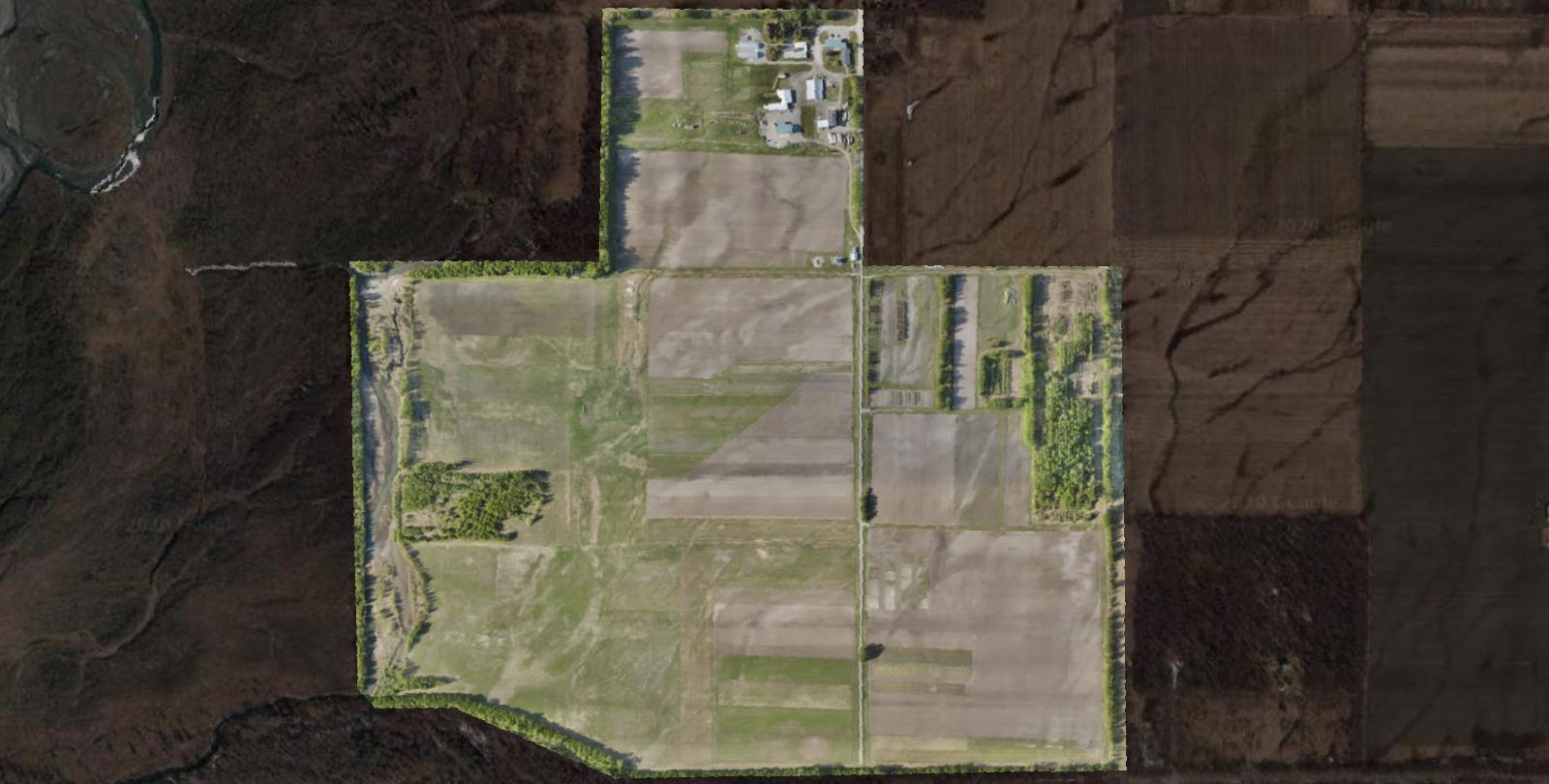
6/27/20 PROJECT DETAILS
IMAGERY ACQUIRED: 6/27/2020
AREA MAPPED: 1.43 km2
GROUND CONTROL POINTS COLLECTED: 14 DGPS
ORTHOIMAGERY RESOLUTION: 2.97 cm/px
ELEVATION MODEL RESOLUTION: 11.9 cm/px
SUB-METER RMSE ERROR: 0.0436m X, 0.0417m Y, 0.2236m Z, 0.2316m total
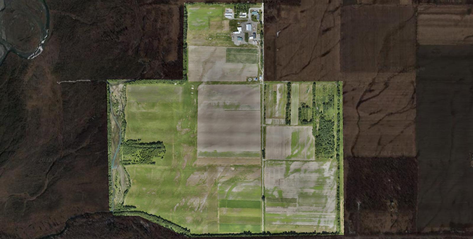
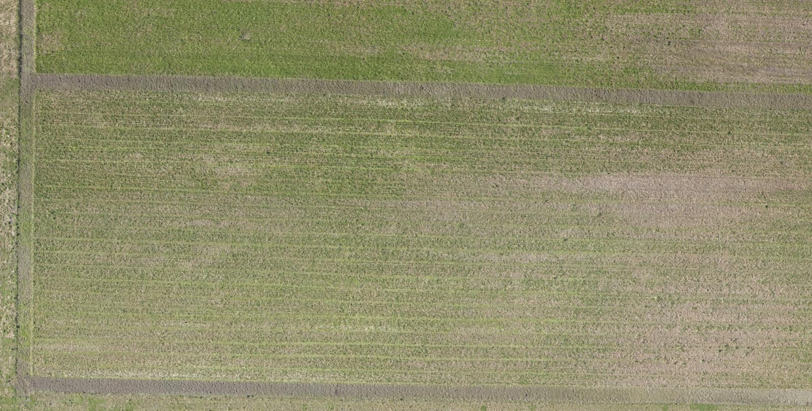
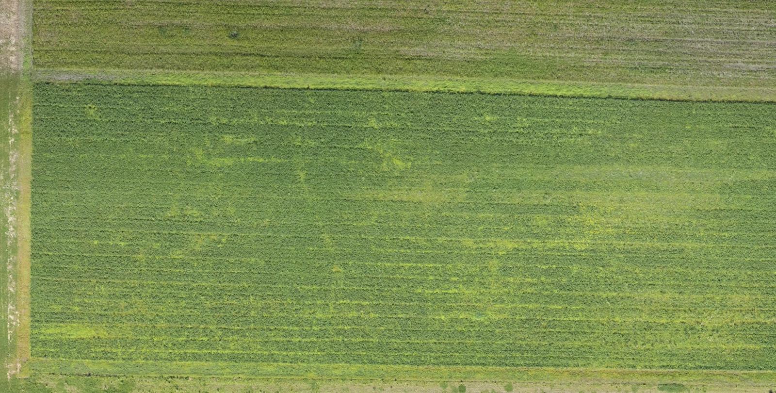
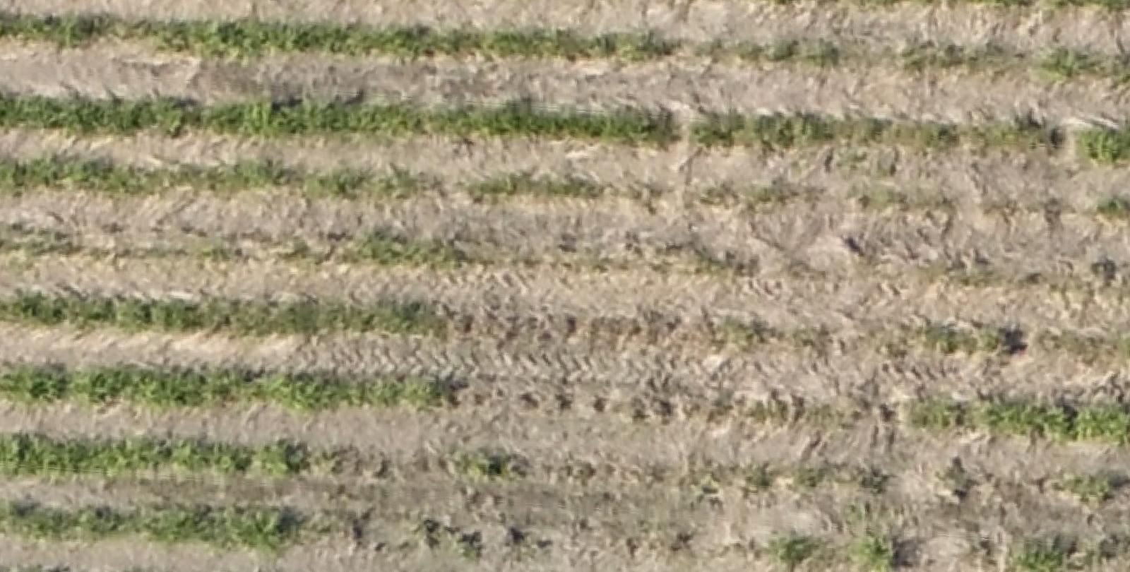
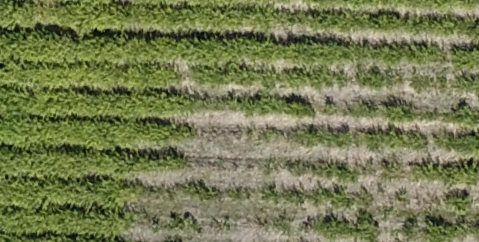
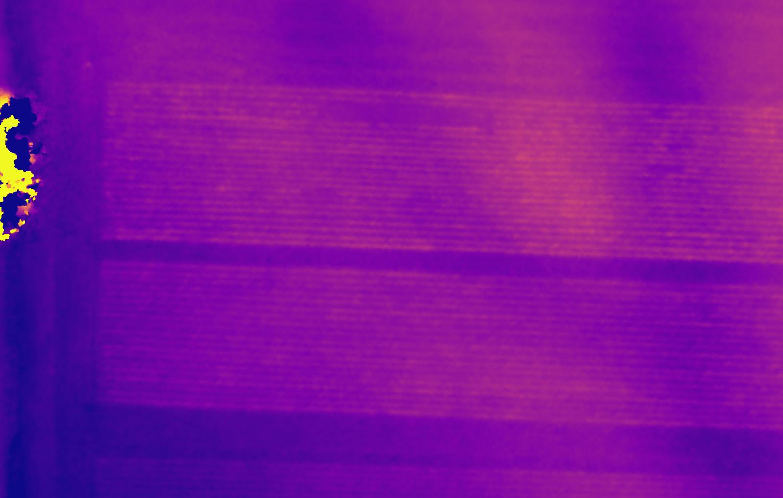
6/27/20 CHANGE DETECTION
Compared with our original 5/27/20 basemap, crop change over 30 days can be visualized and quantified.
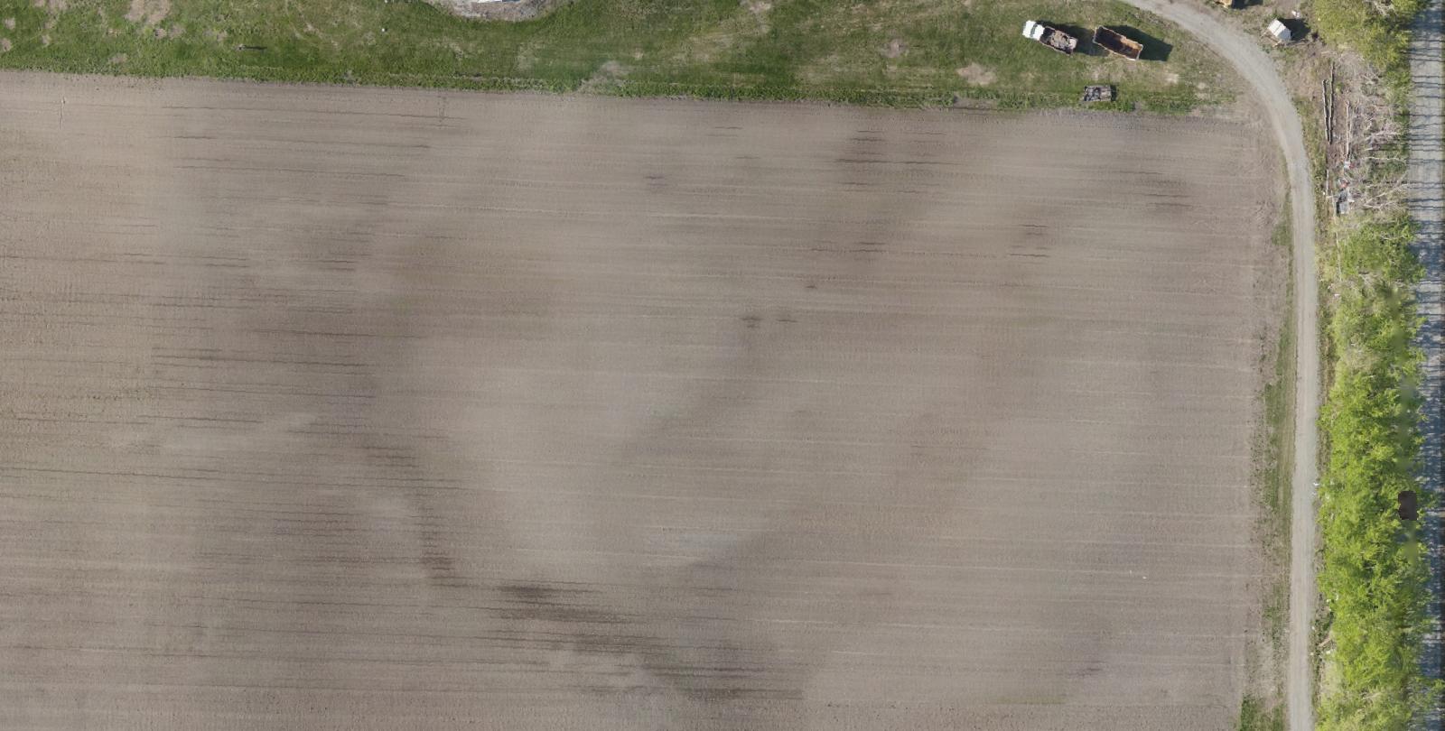
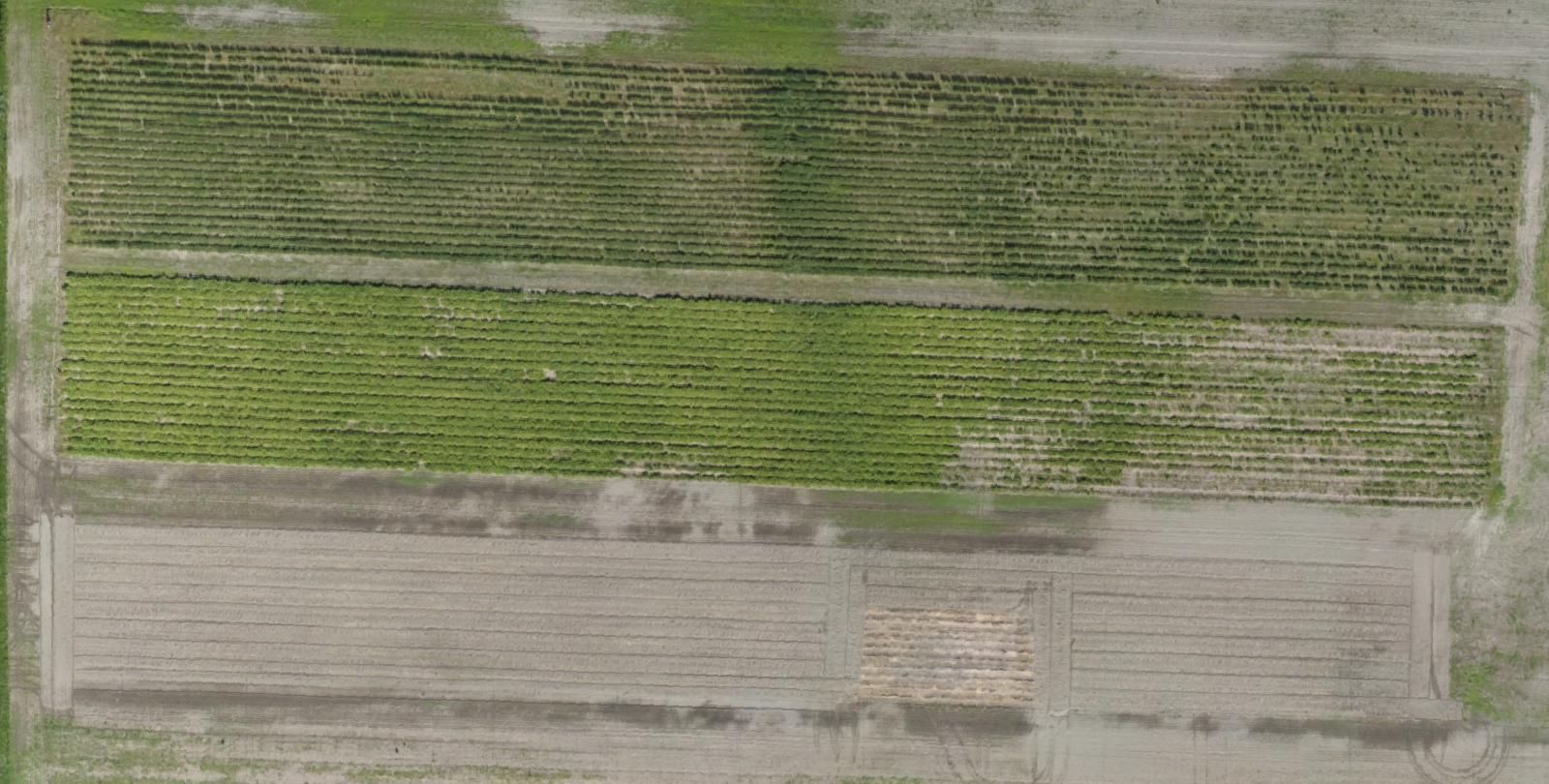
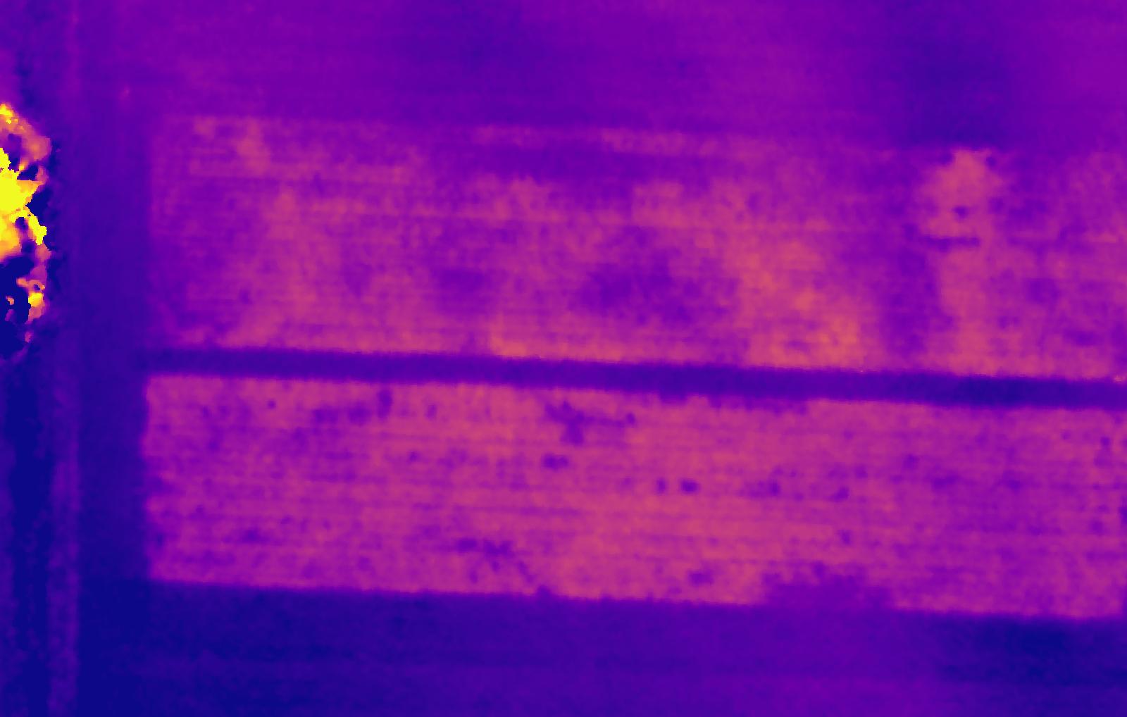
6/27/20 CHANGE DETECTION
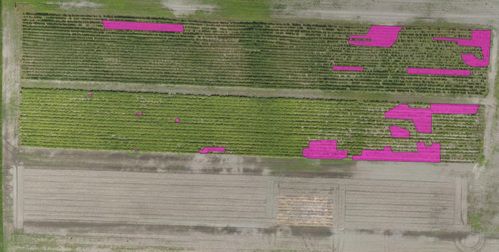
Areas needing a closer look can be identified on the imagefor closer examination; our maps georeferenced to submeter XYZ accuracy allows farmers to extract latitude/longitude coordinates for use in GPS programs for easy navigation directly to the problem area. In larger fields, a drone can be programmed with coordinates to collect pictures or video of problem spots, saving effort and time. This data allows farmers to precisely target the application of nutrients or water where it is needed most.
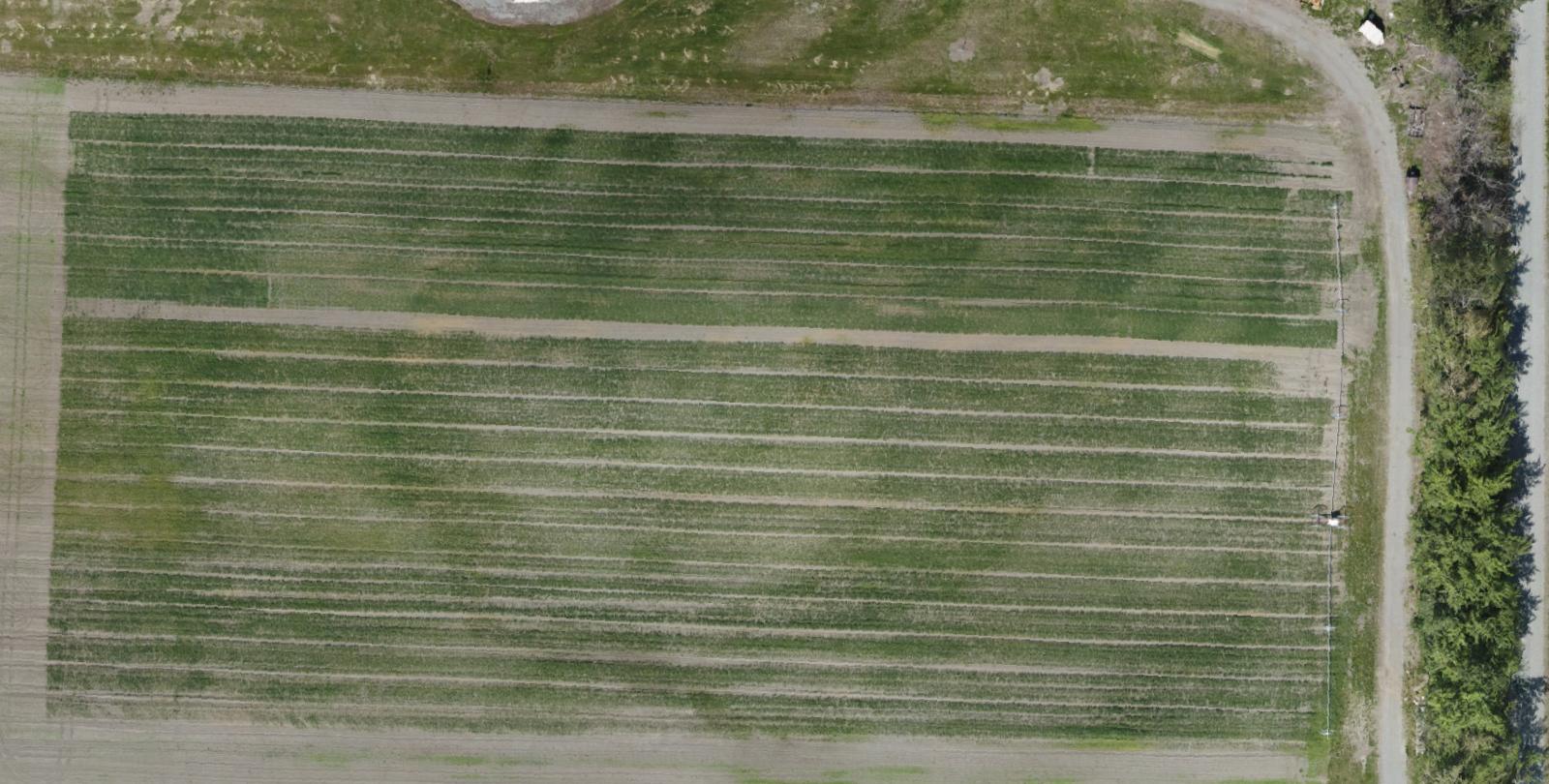
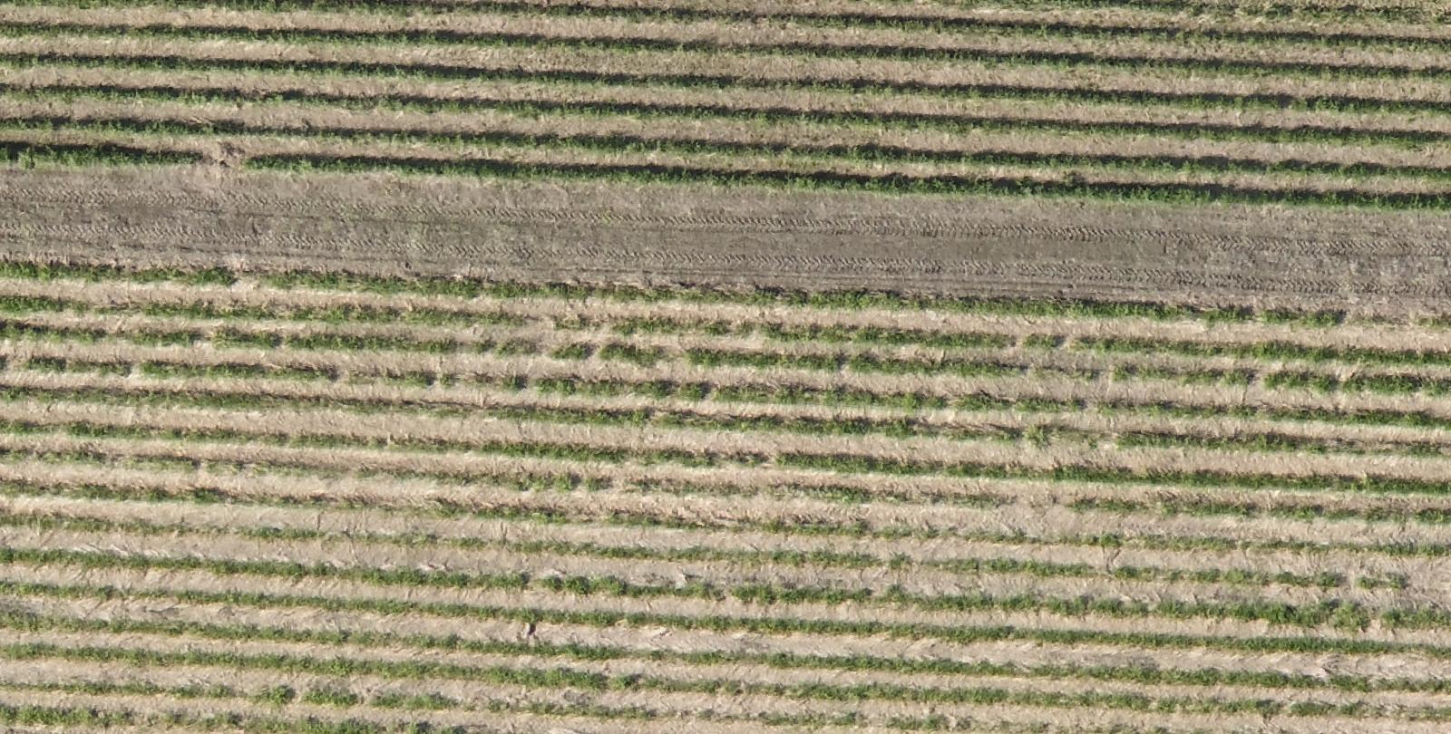
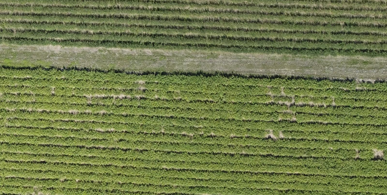
6/27/20 ELEVATION MODEL
Here, the elevation models of a particular plot are compared, showing the relative growth over a 30-day time period- an added color ramp aids visualization (lighter color = higher elevation).
14 CFR Part 107 certified
fully insured
DUNS #116982058
Alaskan owned and operated
(907) 242 7476 | PO Box 407 | Sutton, AK 99674
Recent Comments