PROJECT DETAILS
IMAGERY ACQUIRED: 5/29/2020
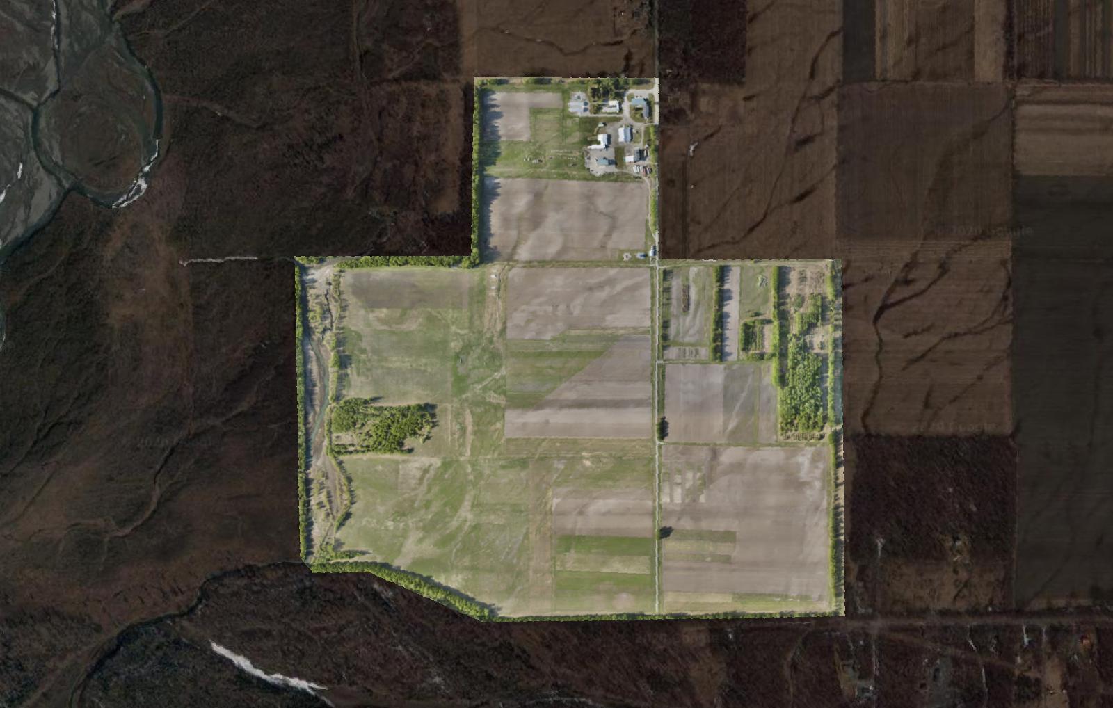
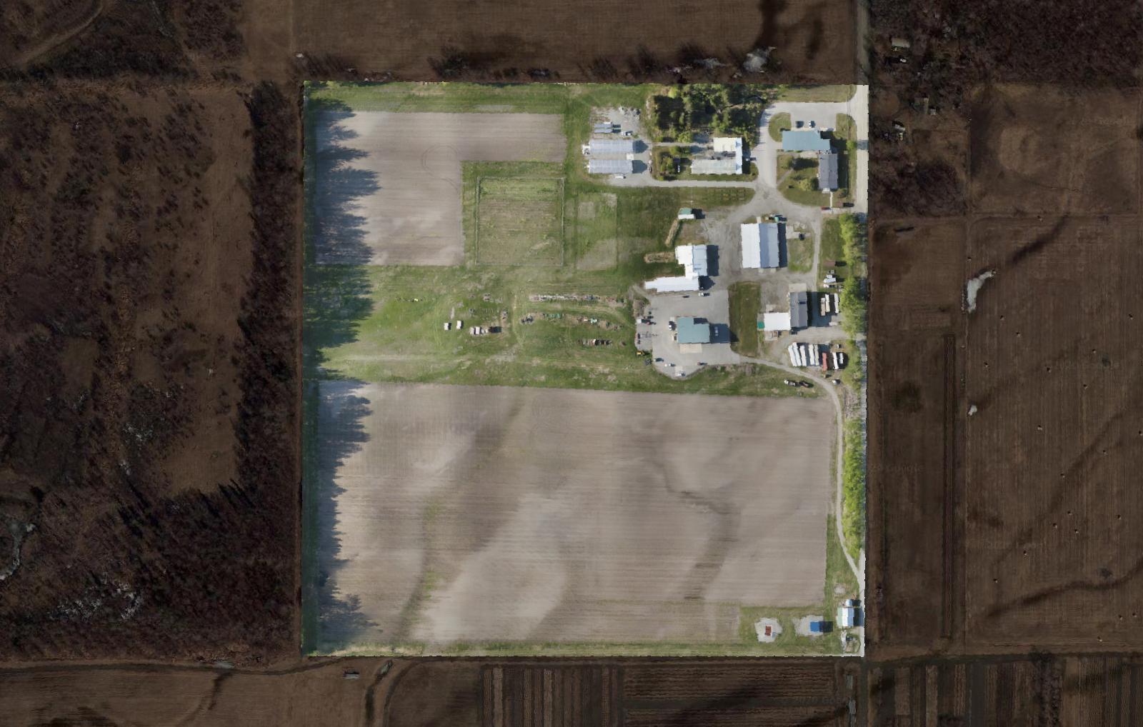
AREA MAPPED: 1.13 km2
IMAGES ACQUIRED: 1384 jpeg
GROUND CONTROL POINTS COLLECTED: 13 DGPS
ORTHOIMAGERY RESOLUTION: 2.33 cm/px
ELEVATION MODEL RESOLUTION: 9.31 cm/px
CONTROL POINT RMSE ERROR: 0.0278m XY, 0.2792m Z, 0.2806m total
Precision agriculture is an information-intensive farm management strategy which utilizes diverse remote sensing datasets and analytics to maximize input efficiency and reduce required labor & time costs. Better data informs better decisionmaking, providing farmers with the information needed to precisely apply nutrient inputs and track crop development over time for large areas, and enables targeted interventions directly to stressed plants. This increased efficiency means higher crop yields and lower costs per acre, as well as reduced needs for human labor.
We at Corax are excited about the possibilities of precision agriculture to increase food security in Alaska. To explore and experiment with precision agriculture, we are collaborating with the Alaska Plant Materials Center’s agronomists for 2020.
The Alaska Plant Materials Center (PMC) is located near the confluence of the Matanuska and Knik rivers near Palmer, Alaska. Founded in 1972, the PMC’s mission is to support and develop agriculture in Alaska.
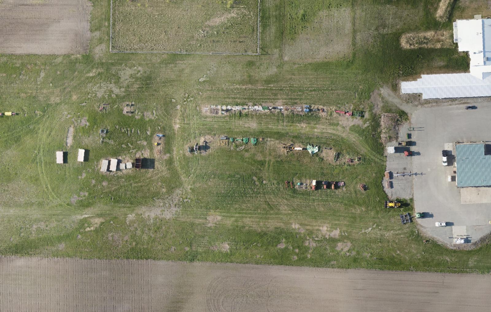
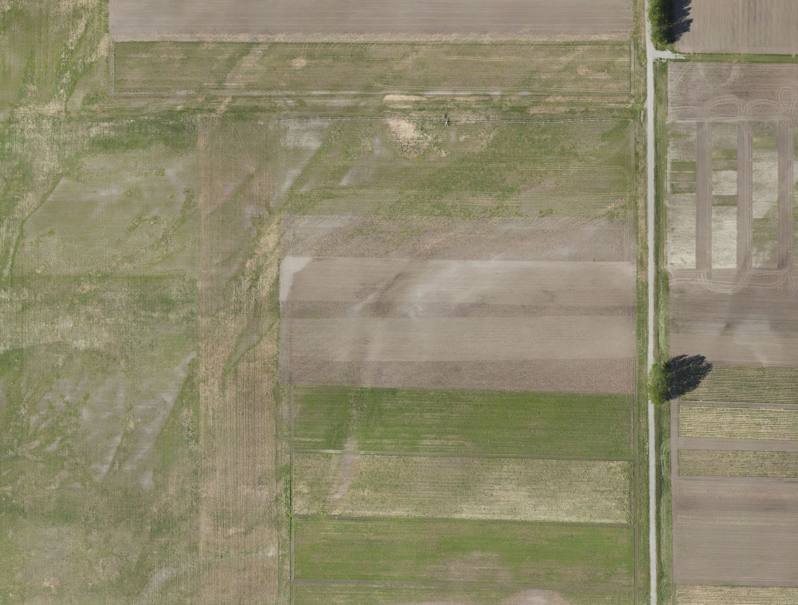
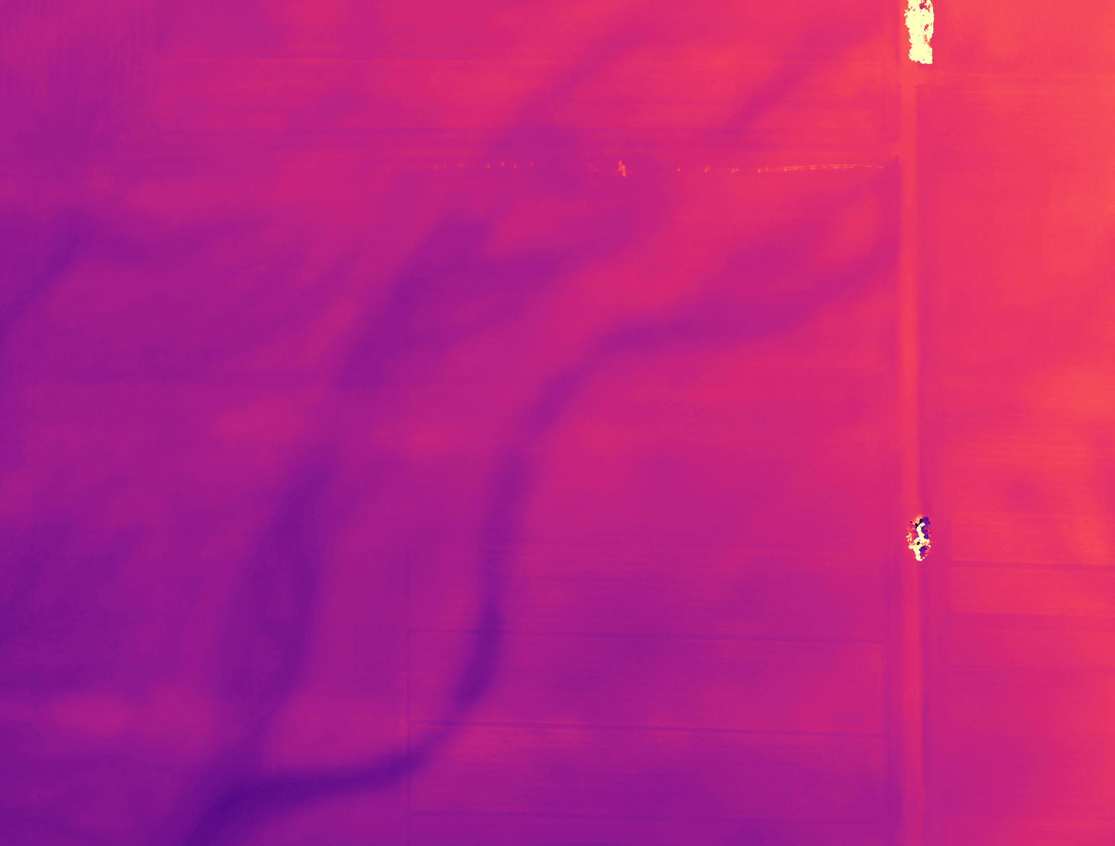
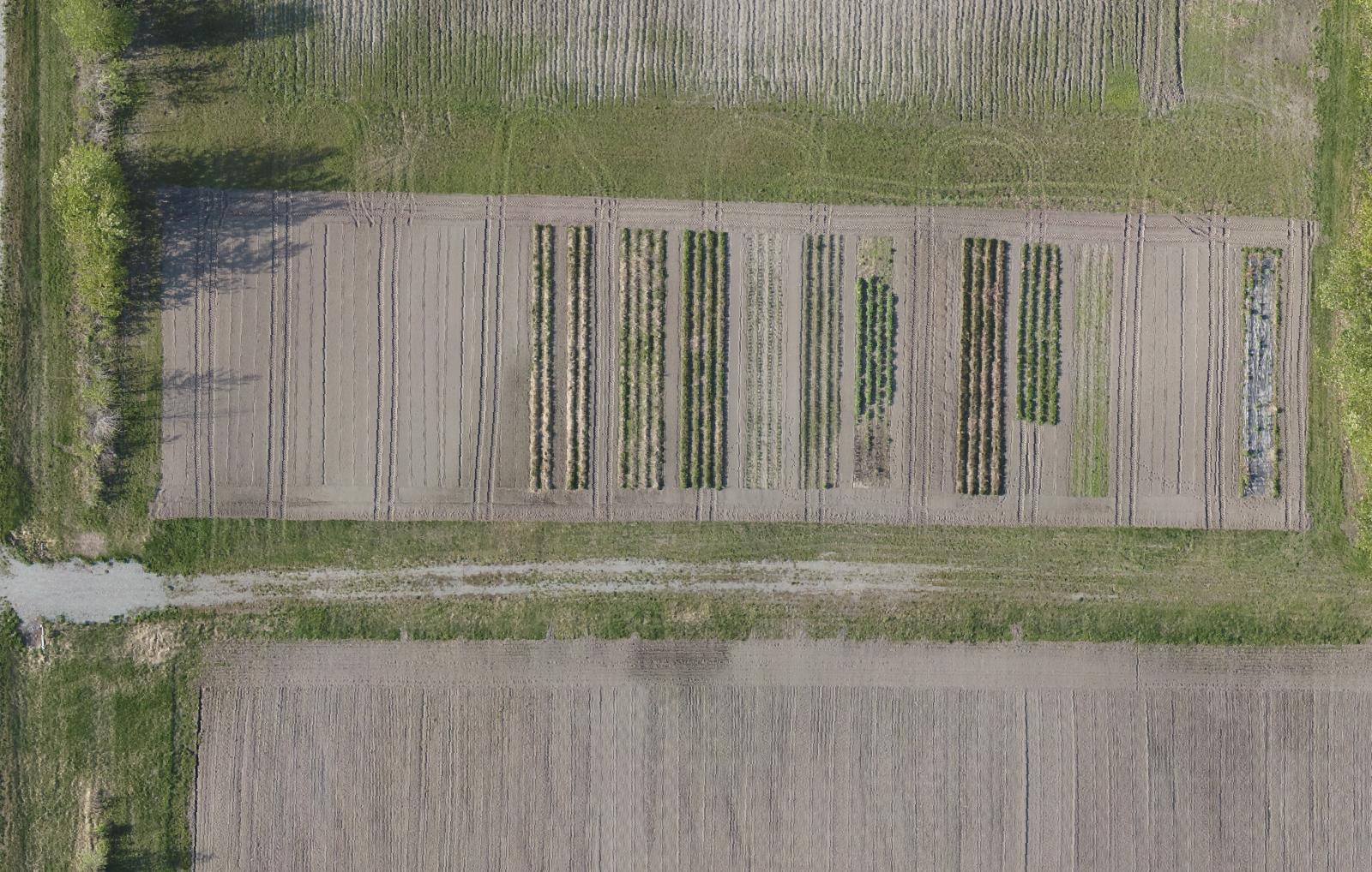
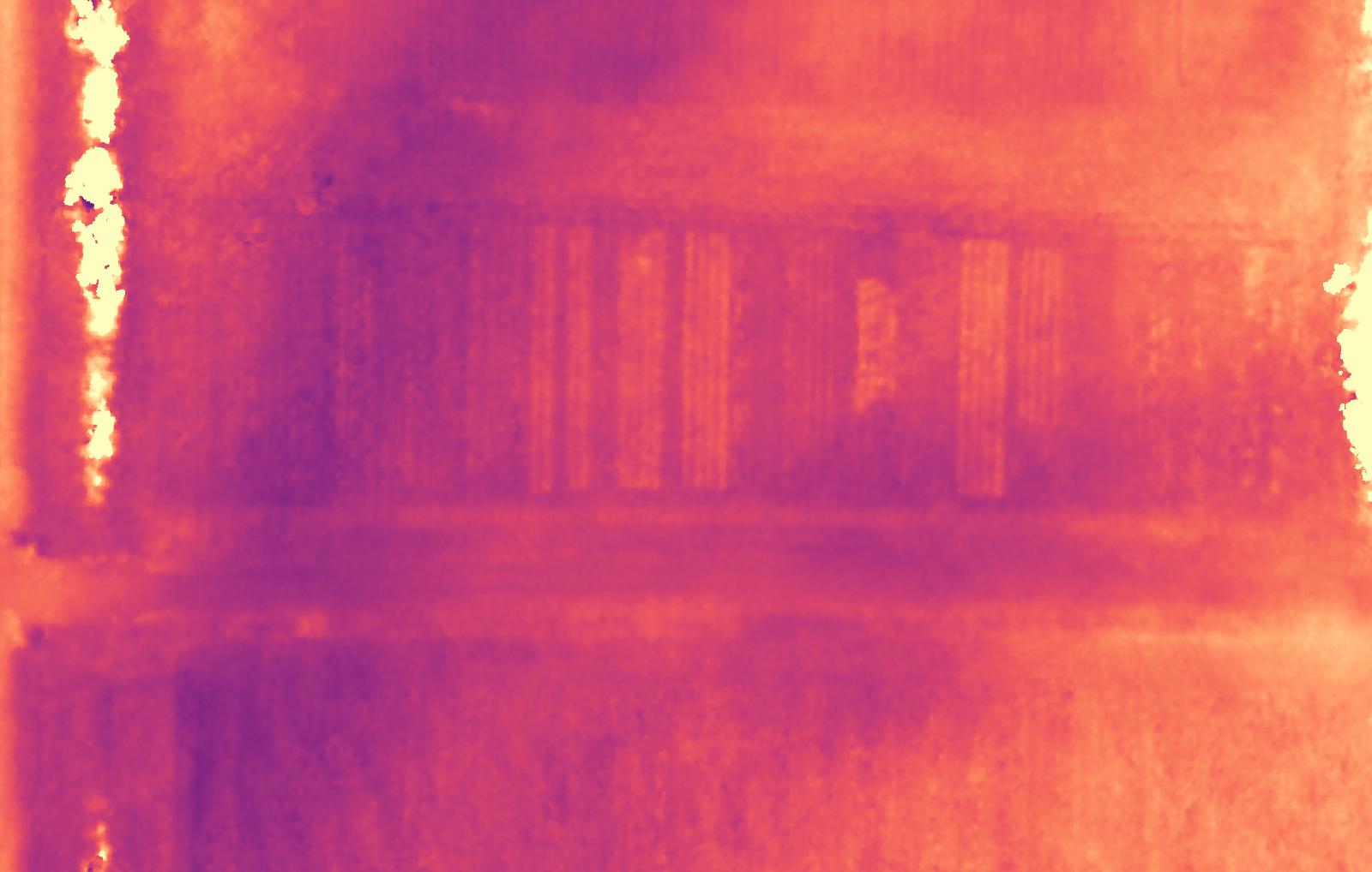
RGB BASEMAP and ELEVATION MODEL
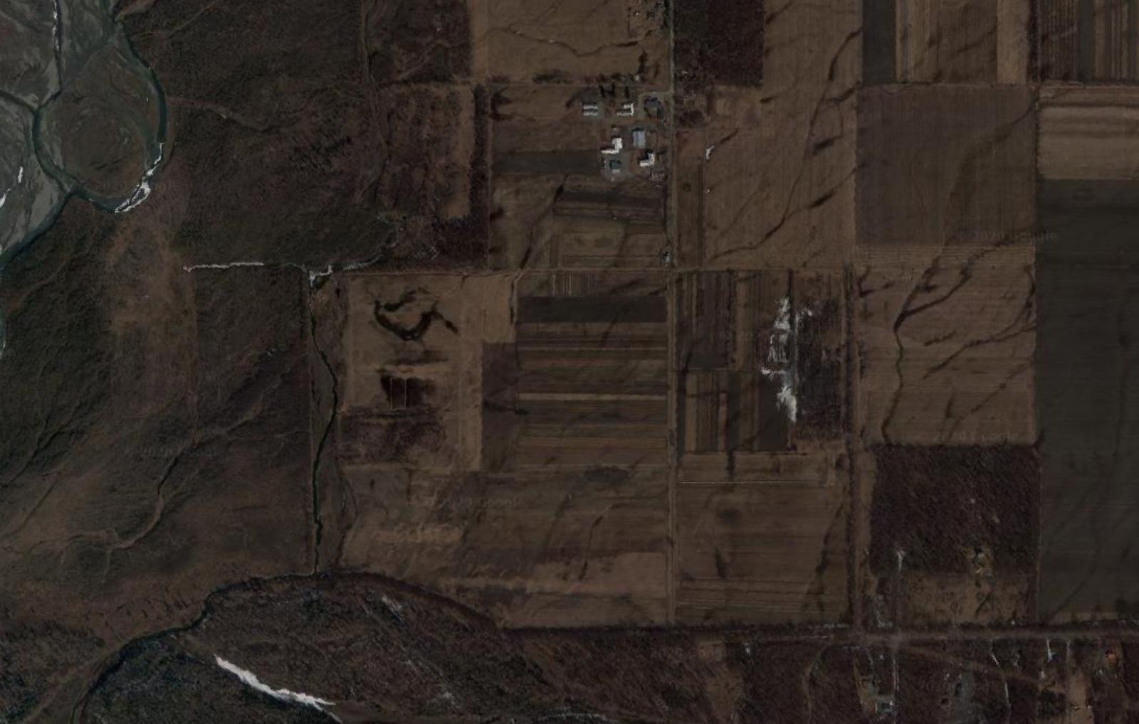
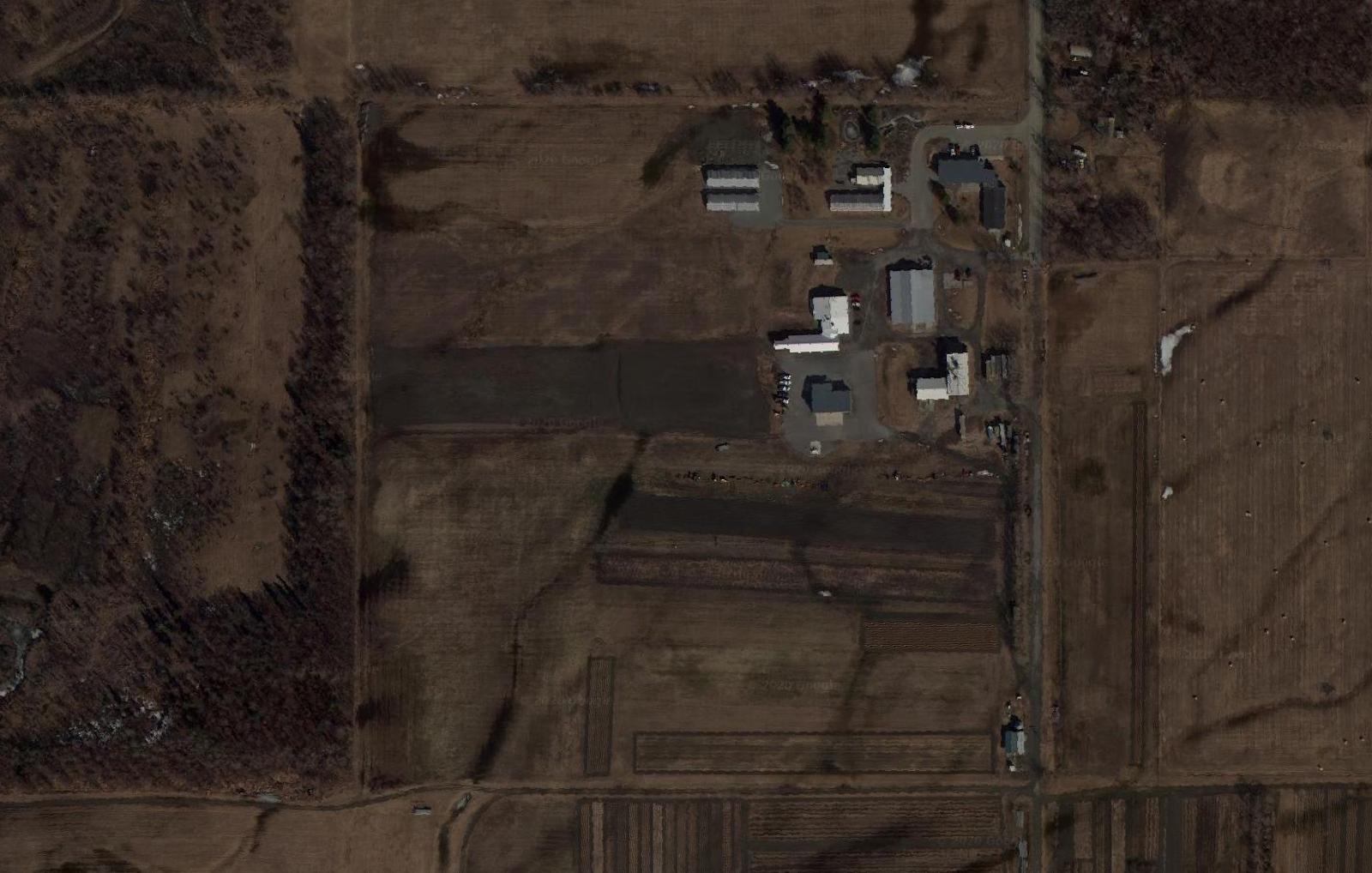
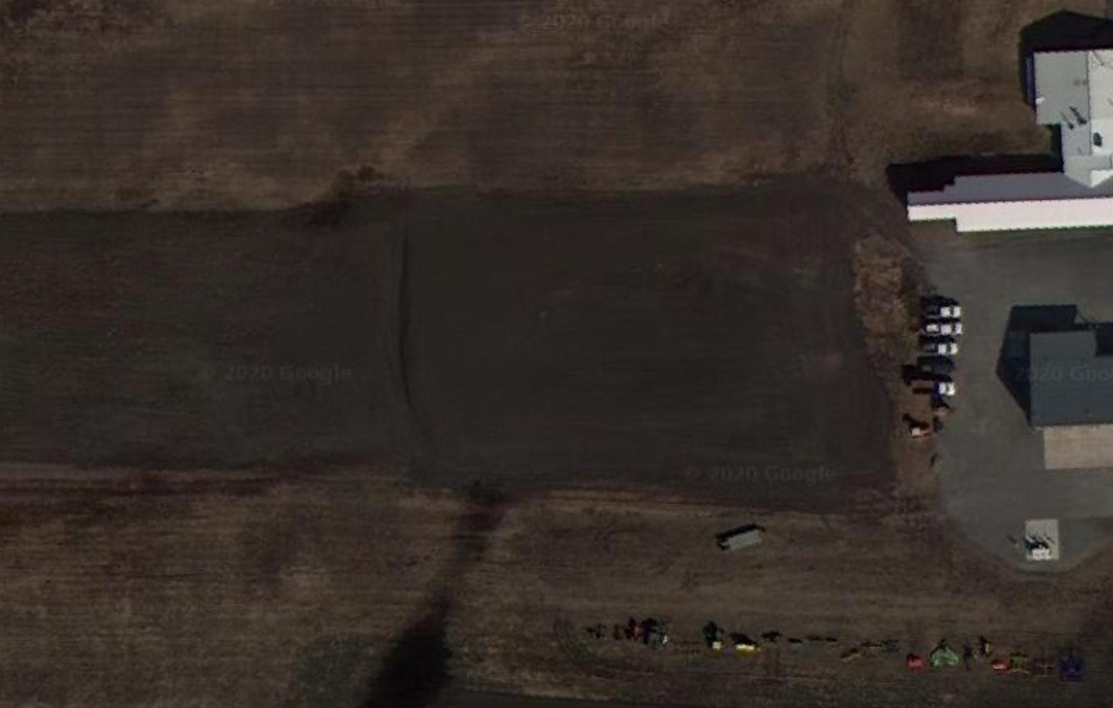
High resolution orthoimagery was collected on-demand and provides the baseline dataset against which all future datasets will be compared. Our first map is compared with the existing satellite imagery below.
Elevation models provide a precise measurement of terrain slope and elevation, as well as quantifying changes in plant height over time (lighter color = higher elevation)
14 CFR Part 107 certified
fully insured
DUNS #116982058
Alaskan owned and operated
(907) 242 7476 | PO Box 407 | Sutton, AK 99674
Recent Comments