Services
Custom Geospatial Data Products from Drone Imagery
⬩ High Resolution
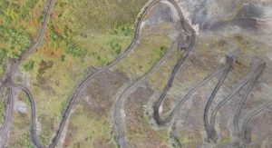
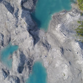
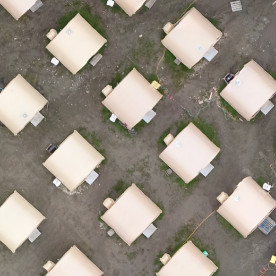
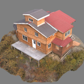
At centimeters per pixel, Corax provides the highest resolution geospatial data commercially available. Our products allow unparalleled spatially-accurate visualization of a customized area of interest, and eliminate data gaps where high resolution data may be otherwise unavailable.
⬩ High Accuracy
Our products are georeferenced and spatially accurate allowing high-confidence measurement and analysis, maximizing offsite planning capabilities, and reducing the need for ground-truthing. We can arrange to work with a surveyor if a certified level of accuracy is required.
⬩ Low Risk
Drones provide remote imaging of difficult or dangerous areas, reducing risks to workers and providing unprecedented access to otherwise off-limit areas of interest.
⬩ Low Cost
Drone data acquisition offers low operational costs, minimal required field time and a small project footprint. Repeat data acquisition of a given area is possible for a fraction of the cost of comparable satellite imagery. High quality data empowers informed project decision-making and reduces in-field hours.
⬩ Remote Site Specialists
In Alaska, getting there can be half the challenge. Corax field crews are self-supported with an unmatched expertise in field risk management. In both urban and remote settings we handle the planning, logistics and operations to give our partners access to cutting-edge geospatial data, no matter the season or location.
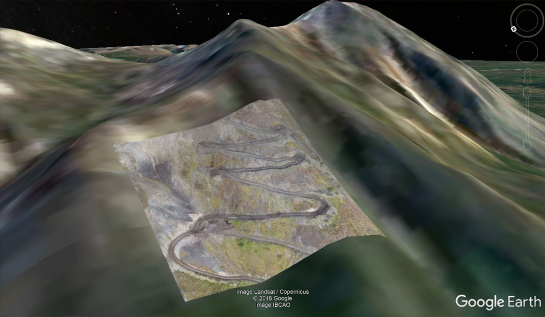
high resolution orthoimagery eliminates data gaps particularly for remote sites
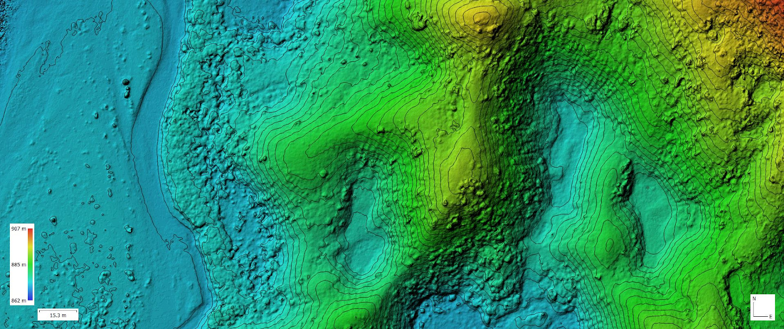
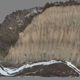
highly detailed elevation products allow a precise quantification of changes over time
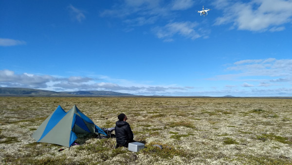
minimal footprint for in-field operations reduce support needs
Geospatial Data Applications
14 CFR Part 107 certified
fully insured
DUNS #116982058
Alaskan owned and operated
(907) 242 7476 | PO Box 407 | Sutton, AK 99674