SHEEP MOUNTAIN LANDSLIDE
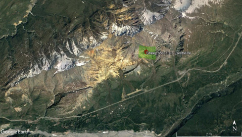
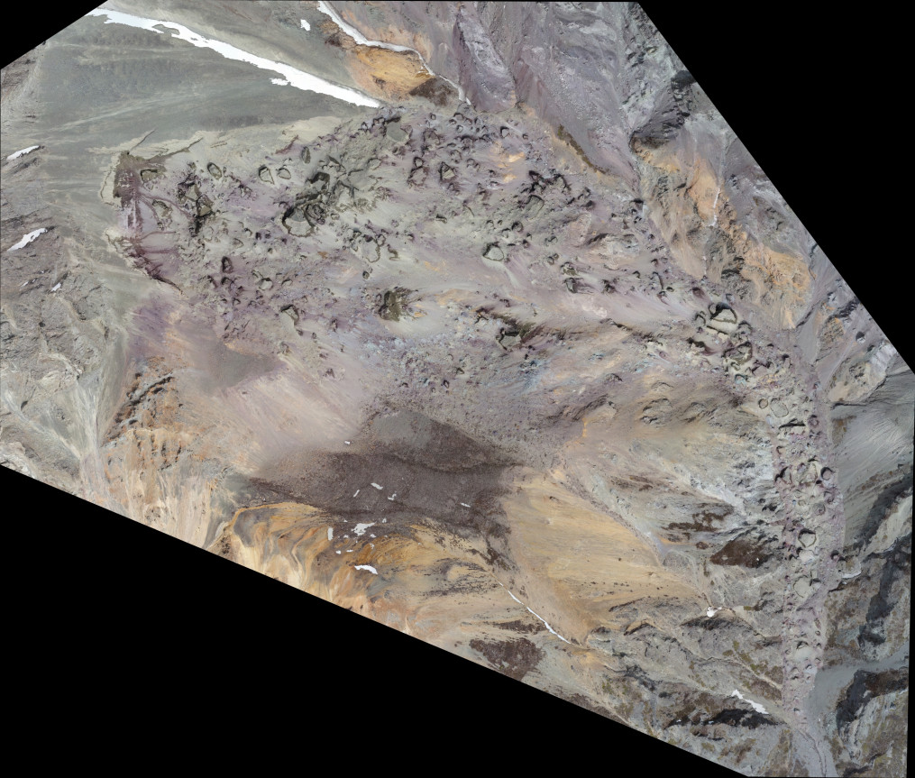
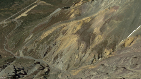
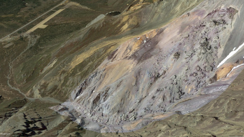
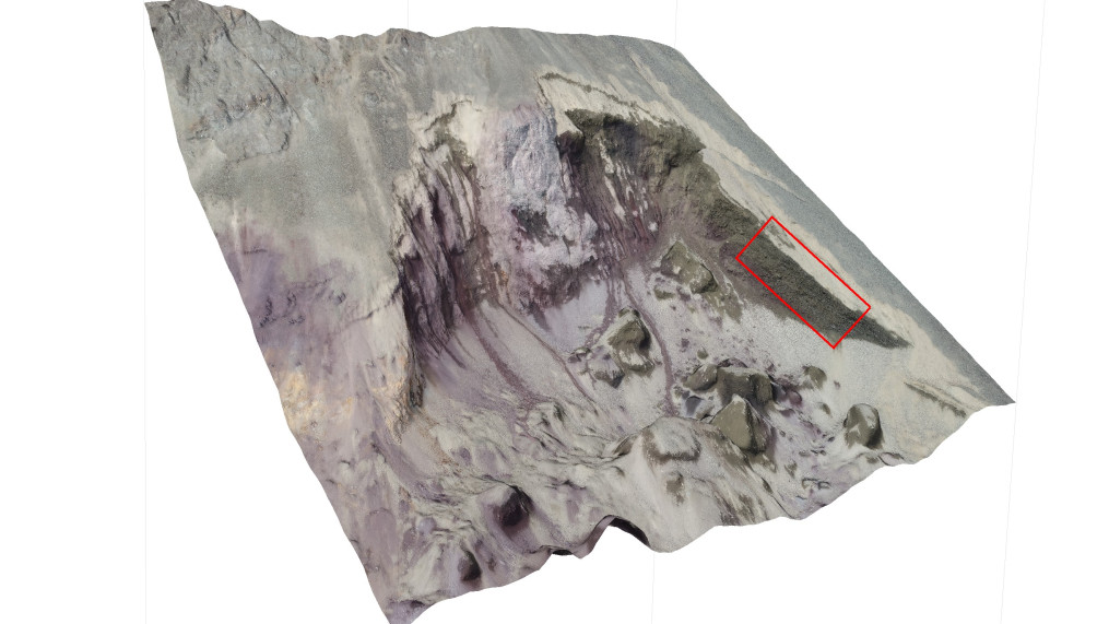
While hiking on Sheep Mountain this spring we noticed a recent landslide not yet visible on publicly-available satellite imagery and barely visible from the Glenn highway. The landslide released during a period of heavy rain on or around July 7 2017 and dammed Yellowjacket Creek, which then released a large mudslide onto the Sheep Mountain Lodge area.
Read about it here.
PROJECT LOCATION
Sheep Mountain Massif, East Aspect 61.6287N / -147.4984W
PROJECT OBJECTIVE
2017 Landslide Visualization
PROJECT OUTPUTS
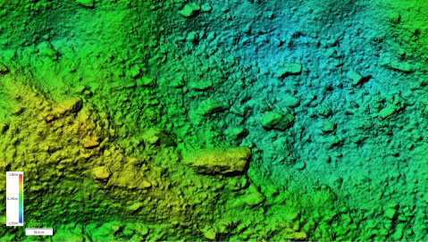
1.73.5 cn/px GSD Orthoimage & 3D Model, 14.5 cm/px GSD DEM
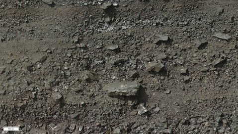
ORTHOMOSAIC
3D Model & Custom Outputs
14 CFR Part 107 certified
fully insured
DUNS #116982058
Alaskan owned and operated
info@coraxuas.com
(907) 242 7476 | PO Box 407 | Sutton, AK 99674
(907) 242 7476 | PO Box 407 | Sutton, AK 99674

