MILE 88 CLIMBING AREA
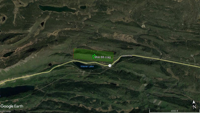
The Mile 88 climbing crag (aka Weiner Lake crag, aka Wookie Wall) features some of Alaska’s best sport climbing and just happens to be a few miles down the Glenn highway from the Corax office. We thought the crag deserved good imagery which would showcase the possibilities of drone photogrammetry.
PROJECT LOCATION
Mile 88 Glenn Highway, Alaska 61.8125N / -148.1661W
PROJECT OBJECTIVE
Orthoimage, 3D Model, DEM of climbing crag
PROJECT OUTPUTS
1.7CM/PX GSD Orthoimagery & 3D Model, 5.37CM/PX GSD DEM, Submeter XYZ Absolute Accuracy
UAS IMAGE AQUISITION
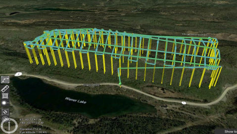
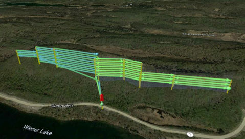
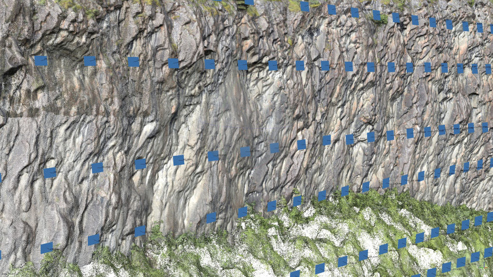
A Corax flight team collected DGPS ground control points and programmed a quadcopter drone to collect nadir and oblique imagery of the climbing area. 90 minutes of automated flying produced over 2000 high resolution digital images which were then processed into a dense point cloud.
DIGITAL ELEVATION MODEL
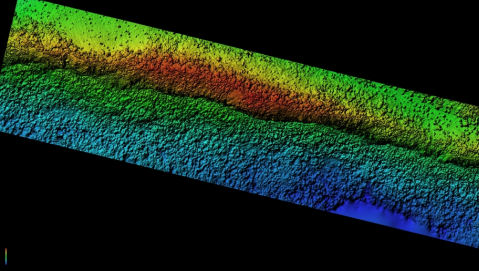
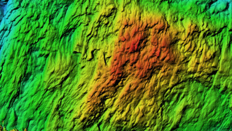
From the dense point cloud we produced a digital elevation model (DEM) with 5.37cm/pixel resolution for use in more accurate drone flight planning, making repeat image acquisition easier and safer for the drone.
We also produced vertical elevation models of certain areas of the crag.
ORTHOIMAGE
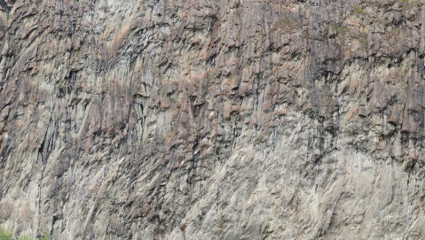
We produced a single vertical orthomosaic image of the cliff face. Unlike a panorama image, Corax orthoimagery is geometrically corrected to represent a uniform scale (such as is found on a topographic map),features high positional accuracy and can be integrated into many commonly-used software tools. For climbing purposes, orthoimagery of the rock face allows accurate measurement. We are now able to quantify route length, anchor height above ground level, distance between bolts and the sizes of cracks and other rock features, all without leaving the ground. Submeter georeferencing allows us to assign a latitude/longitude coordinate for the beginning of each route and measure the elevation above sea level of each piece of fixed protection.
We created smaller images of sections of the cliff face to allow us to highlight individual routes. The 1.7cm/pixel resolution lets us identify individual fixed climbing equipment.
3D MODEL
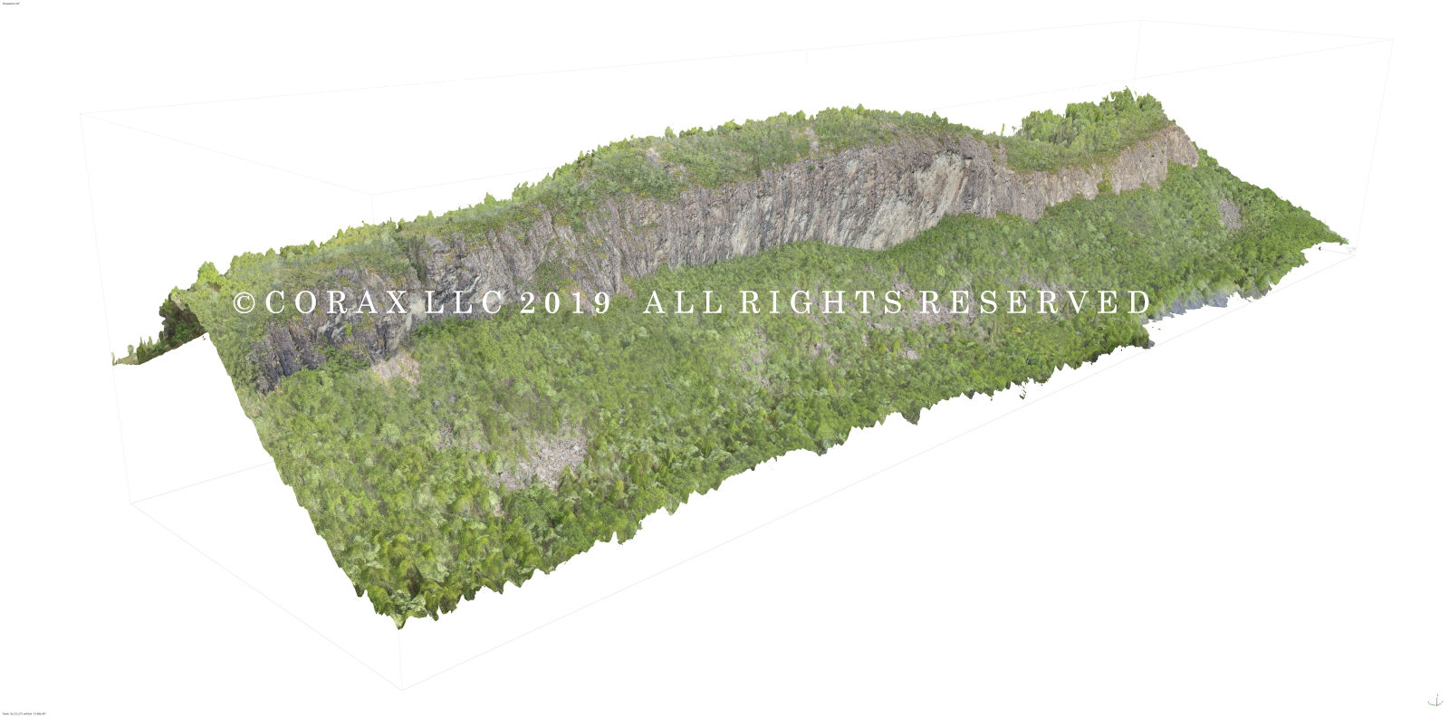
We created a 3D model featuring a very accurate and low error reconstruction of the cliff face topography. From this point we could produce models of any section of the cliff face, which would allow us to produce 3D models for individual routes. A number of third-party software programs can be used to further manipulate the model, draw routes and polygons, and perform detailed measurements.
14 CFR Part 107 licensed remote Pilots
fully insured
DUNS #116982058
Alaskan owned and operated
info@coraxuas.com
(907) 885-4764 | PO Box 1185 | Chickaloon, AK 99674

